
Best Offline Navigation Apps for Hiking and Road Trips in 2026 (No Signal Required)
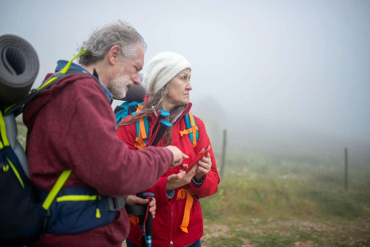
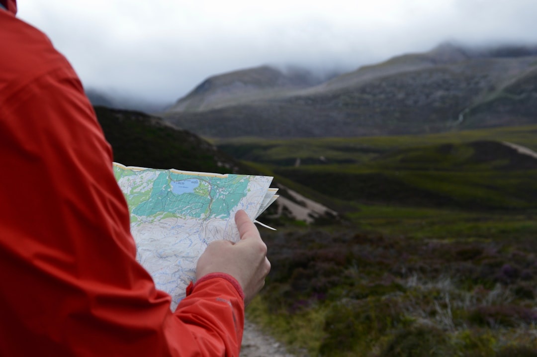
Last June, I lost signal halfway up a trail in the Dolomites—right where the path split three ways and the fog rolled in. No bars. No Wi-Fi. Just a 40-minute guess that could’ve turned into a 4-hour mistake.
That’s when I stopped trusting “I’ll just use Google Maps” and started testing serious offline navigation apps. If you’re planning summer hikes, cross-border road trips, or heading into remote coastal towns (like the ones I love in these underrated Mexican beach escapes), this is what actually works in 2026.
Key Takeaways
- Gaia GPS ($39.99/year) is the most powerful offline hiking app for backcountry navigation.
- Maps.me (free) is the best lightweight option for international road trips and cities.
- AllTrails+ ($35.99/year) is ideal for marked trails but limited off established routes.
- Download maps over Wi-Fi before you leave—offline maps can take 500MB–2GB per region.
- Battery drain is real: expect 15–25% usage per 4 hours with GPS tracking on.
What Actually Matters in an Offline Navigation App
Before we dive into rankings, here’s what I look for after testing these apps on Alpine passes, Baja dirt roads, and US national parks.
- True offline functionality (not just cached maps)
- Topographic detail for hiking elevation gain
- Turn-by-turn road navigation without signal
- Battery efficiency
- Cross-border usability
Now, here are the best offline navigation apps for hiking and road trips in 2026—no signal required.
1. Gaia GPS — Best for Serious Hiking & Backcountry Trips
If you’re hiking anything more ambitious than a national park loop trail, Gaia GPS is the gold standard.
I used it during a 10-day Dolomites road trip (similar to this scenic Dolomites itinerary) and it saved me twice—once from a washed-out trail and once from accidentally descending the wrong valley.
Price (2026): $39.99/year for Premium
Offline maps: Yes, fully downloadable layers
Best for: Hiking, overlanding, remote terrain
Why It’s Worth Paying For
You can download entire regions with topo maps, satellite imagery, slope angles, and even wildfire overlays (in the US).
Elevation profiles are incredibly accurate. When a trail says 900m gain, Gaia shows you exactly where that pain starts.
Downside
The interface isn’t beginner-friendly. Expect a learning curve of about an hour.
If you’re just walking well-marked summer trails, it might be overkill.
2. Maps.me — Best Free Offline App for Road Trips
Maps.me is the scrappy underdog I keep coming back to.
It’s completely free, downloads fast, and works surprisingly well in places with weak infrastructure—think rural Portugal, the Balkans, or small coastal towns in Mexico.
Price: Free
Offline maps: Full country downloads
Best for: International road trips & city navigation
Why I Like It
You download entire countries in one tap. Spain is about 1.2GB. Slovenia? Under 300MB.
It also includes walking trails and smaller roads that sometimes don’t appear clearly on Google Maps offline mode.
Where It Falls Short
No advanced topo layers. Limited route customization.
If you’re doing rugged hiking, choose Gaia instead.
3. AllTrails+ — Best for Popular Hiking Trails
AllTrails is fantastic for discovering hikes. But for navigation? It depends.
Price: $35.99/year for AllTrails+
Offline maps: Yes (paid plan)
Best for: Marked, popular trails
Why It Works
It’s extremely user-friendly. Download a trail, hit record, and follow the blue dot.
If you’re planning summer trips to cooler mountain regions (like those in these cool-weather July destinations), AllTrails covers most established routes.
Limitations
It’s not ideal for creating custom routes or exploring unmarked terrain.
I’ve seen trail data slightly off in remote areas—nothing dramatic, but noticeable.
4. Google Maps Offline — Fine for Cities, Risky for Remote
Yes, you can download areas in Google Maps.
No, I wouldn’t rely on it for backcountry hiking.
Price: Free
Offline maps: Limited area downloads
Best for: Urban driving
It works well for cities and major highways. But it doesn’t show most hiking trails, and offline searches are limited.
Good backup. Not your primary survival tool.
5. Organic Maps — The Privacy-Focused Alternative
Organic Maps is open-source, lightweight, and doesn’t track you.
Price: Free
Offline maps: Full country downloads
Best for: Travelers who care about privacy & simplicity
It’s similar to Maps.me (they share OpenStreetMap data), but cleaner and ad-free.
Navigation is reliable for driving and walking, but again—not built for technical mountain terrain.
Battery & Storage: What Most People Forget
Offline navigation apps are only helpful if your phone stays alive.
In summer 2026, most phones still burn battery when GPS tracking runs continuously.
- Expect 15–25% battery drain per 4 hours with active tracking.
- Download maps before leaving Wi-Fi—large regions can exceed 2GB.
- Bring a 10,000–20,000 mAh power bank for full-day hikes.
- Switch to airplane mode while using offline maps to save battery.
If you’re working remotely while traveling, your laptop matters too. I recently rounded up the best laptops for travel in 2026—battery life and durability are huge if you’re planning extended road trips.
My Personal Picks for Summer 2026
Here’s exactly what I’m using this season:
European mountain hiking (Dolomites, Alps, Pyrenees): Gaia GPS
US National Parks: AllTrails+ + Gaia backup
Mexico road trip: Maps.me + Google Maps backup
Urban Europe driving: Google Maps offline
I always carry two apps downloaded. Redundancy beats regret.
Verdict: Which Offline Navigation App Should You Choose?
If you’re serious about hiking remote trails: Gaia GPS.
If you’re planning an international road trip and want free + reliable: Maps.me.
If you’re sticking to marked trails and want ease of use: AllTrails+.
The biggest mistake I see travelers make in late spring and early summer? Waiting until they’re already at the trailhead to download maps. Campground Wi-Fi won’t save you.
Download everything at home. Test it once. Then go explore.
And if you’re mapping out your July escape right now, pair your offline app with smart destination planning—especially if you’re heading somewhere remote or cool-weather for peak hiking season.
Signal is optional. Preparation isn’t.
Frequently Asked Questions
What is the best offline navigation app for hiking in 2026?
Gaia GPS is the best overall for serious hiking thanks to detailed topo maps, offline layers, and route planning tools. It costs $39.99/year but offers the most reliable backcountry navigation.
Can Google Maps work completely offline for road trips?
Google Maps allows offline area downloads for driving, but features are limited and hiking trails are mostly missing. It’s fine for cities and highways, not remote terrain.
How much storage do offline maps use?
Country downloads typically range from 300MB to 2GB depending on detail level. Large regions with satellite layers can exceed 2GB in apps like Gaia GPS.
Do offline navigation apps drain battery quickly?
Yes. With active GPS tracking, expect 15–25% battery usage over 4 hours. Airplane mode and a power bank significantly extend usage time.

About the Author: redactor
Travel writer and founder of Discover Travel (distratech.com) — a blog covering travel, food & drink, and technology. With 250+ articles spanning Europe, the Americas, Asia, and Africa, I help travelers discover alternative destinations, hidden gems, and budget-friendly tips backed by real experience and data. Whether it's the best street food in Bangkok, Easter celebrations across Europe, or scenic train routes — I write to inspire smarter, more authentic travel.