Hiking the Swiss Alps in Summer 2026: 7 Scenic Trails for All Skill Levels
I paid 78 CHF for a round-trip cable car in Zermatt last July—and it was worth every franc. Within 20 minutes, I was hiking beneath the Matterhorn, cowbells echoing across alpine meadows, snow still clinging to distant peaks even in mid-July.
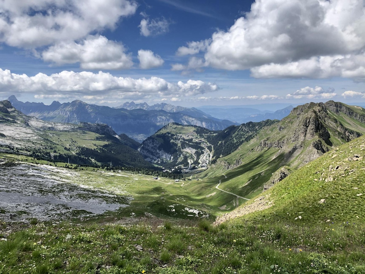
Summer 2026 is shaping up to be one of the best seasons in years for hiking the Swiss Alps. Snow melted early after a mild spring, high-altitude trails are expected to open by mid-June, and new digital trail updates from Switzerland Tourism make route planning easier than ever.
Key Takeaways
- Best hiking season: late June to mid-September 2026 for clear trails and open lifts.
- Expect cable car tickets to cost 30–95 CHF depending on region and altitude.
- Trails range from easy 2-hour panoramic walks to challenging 20km alpine routes.
- Swiss Travel Pass (from ~389 CHF for 3 days) covers many mountain trains and boats.
- Book mountain huts (Berghütten) at least 4–6 weeks ahead for July and August.
Below are seven scenic Swiss Alps hikes I genuinely recommend—no fluff, no tourist traps, just spectacular trails for every fitness level.
1. Five Lakes Walk (Zermatt) — Best for Iconic Views
Distance: 9.8 km point-to-point
Time: 2.5–3 hours
Level: Easy to moderate
If you want classic “Swiss postcard” scenery, this is it. The trail connects five alpine lakes, three of which reflect the Matterhorn on clear mornings.
Start from Blauherd (funicular from Zermatt, ~56 CHF round trip). Go early—before 9am in July—to avoid tour groups.
It’s well-marked and mostly downhill, making it ideal for casual hikers or families. Bring a swimsuit if you’re brave; Stellisee is freezing but unforgettable.
2. Eiger Trail (Grindelwald) — Close-Up Drama
Distance: 6 km
Time: 2–3 hours
Level: Moderate
This trail runs along the base of the Eiger’s north face. You’ll literally walk beneath one of the most legendary climbing walls in the world.
Start at Eigergletscher station (accessible via Jungfrau Railway). The ticket isn’t cheap—around 70–90 CHF depending on route—but the views are jaw-dropping.
Late July and August 2026 will likely see stable weather windows. Always check the MeteoSwiss app before heading up; storms build quickly in the afternoon.
3. Oeschinensee Panorama Trail (Kandersteg) — Best Alpine Lake
Distance: 8 km loop
Time: 3–4 hours
Level: Moderate
Oeschinensee looks almost artificially turquoise. It’s that surreal.
Take the cable car from Kandersteg (around 32 CHF round trip). Skip the crowded lakeside picnic area and head uphill to the Panorama Trail for fewer people and dramatic views over the lake.
Pro tip: This is a perfect spot for “dusking”—hiking late afternoon into sunset. If you love golden-hour landscapes, you’ll understand why “dusking” is becoming a major travel trend in 2026.
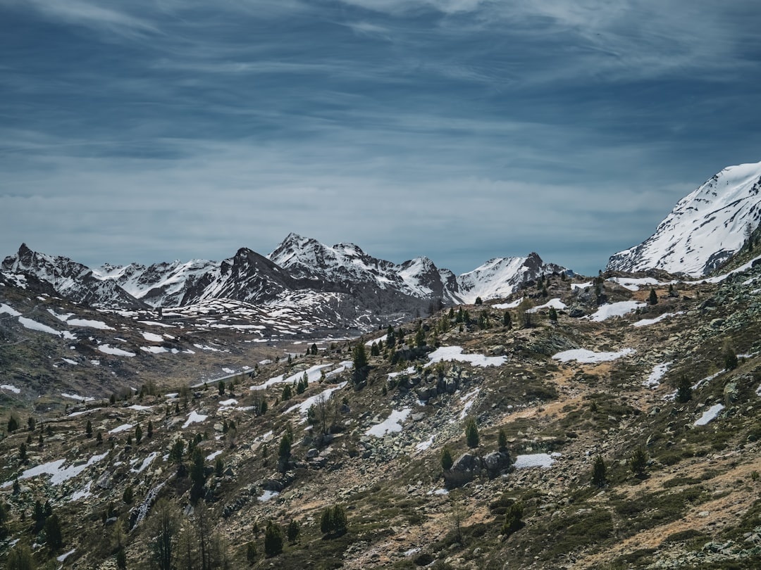
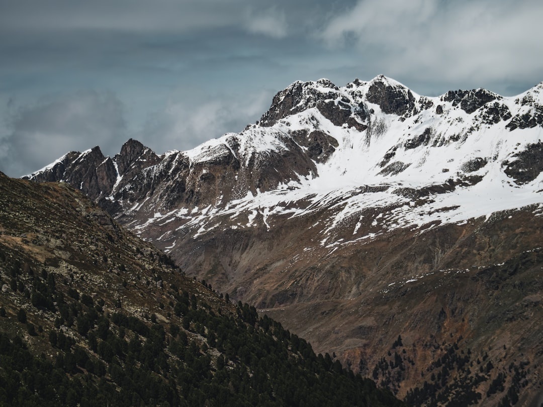
4. Aletsch Glacier Panorama Trail (Valais) — Biggest Glacier in the Alps
Distance: 14 km
Time: 4–5 hours
Level: Moderate
The Aletsch Glacier is massive—23 km long and a UNESCO World Heritage Site. Photos don’t prepare you for the scale.
Start at Bettmerhorn or Eggishorn (lift access required). The trail stays mostly along a ridge, offering constant glacier views without technical climbing.
July 2026 should provide ideal trail conditions, but bring layers. Even in summer, temperatures can drop below 10°C at altitude.
5. Hardergrat Trail (Interlaken) — For Serious Hikers
Distance: 20–24 km
Time: 7–10 hours
Level: Challenging
This one is not for beginners. The ridge is narrow, steep, and relentless.
But the payoff? Unreal panoramic views over Lake Brienz and Lake Thun. It’s one of the most spectacular day hikes in Switzerland.
Start early (6–7am). Bring at least 2 liters of water—there are no refill stations along the ridge.
6. Stoos Ridge Hike — Underrated Gem
Distance: 10 km
Time: 4–5 hours
Level: Moderate
Most tourists skip Stoos for Jungfrau or Zermatt. That’s their mistake.
The ridge walk between Klingenstock and Fronalpstock offers dramatic cliffs and rolling alpine hills without the Grindelwald crowds.
Take the Stoos funicular (the steepest in the world). Round-trip transport costs about 44 CHF. Worth it.
7. Lauterbrunnen Valley Walk — Easy & Family-Friendly
Distance: 7 km (one way)
Time: 2 hours
Level: Easy
If you’re traveling with kids or want a relaxed day, walk from Lauterbrunnen to Stechelberg.
You’ll pass 72 waterfalls—yes, seventy-two—including the famous Staubbach Falls.
This is accessible, mostly flat, and ideal for late spring (May–June 2026) when snowmelt makes the waterfalls thunderous.
Practical Tips for Hiking the Swiss Alps in 2026
- Download offline maps: Use SwitzerlandMobility or AllTrails; signal drops at altitude.
- Start early: Alpine storms often roll in after 2pm.
- Budget realistically: Expect 60–120 CHF per day including transport and food.
- Use public transport: Swiss trains are faster and less stressful than driving mountain roads.
- Check lift opening dates: Some high-altitude lifts don’t open until late June.
If you are road-tripping through Switzerland this summer, the latest updates to Android Auto’s redesigned music apps actually make alpine drives smoother—offline playlists and improved navigation integration are a game-changer in areas with spotty reception.
When Is the Best Time to Hike the Swiss Alps?
Late June to mid-September is prime season.
July and August offer full trail access and wildflowers in bloom—but expect peak prices and busier cable cars.
September 2026 is my personal pick. Fewer crowds, cooler temperatures, and crystal-clear visibility after summer haze.
What It Really Costs
Switzerland isn’t cheap. A typical hiking day might look like this:
Cable car: 40–90 CHF
Lunch at mountain hut: 18–28 CHF
Coffee: 5 CHF
Train between towns: 20–50 CHF
If you’re hiking multiple regions, the Swiss Travel Pass can save money. It also covers scenic boats on Lake Thun and Lake Lucerne—perfect recovery days between hikes.
Where to Base Yourself
Zermatt for iconic peaks and car-free charm.
Grindelwald for dramatic cliffs and easy transport links.
Interlaken for variety and nightlife.
Valais for fewer crowds and authentic mountain villages.
Book accommodation early for July and August 2026. Many mid-range hotels (150–250 CHF per night) are already seeing strong summer reservations.
Final Thoughts: Is Hiking the Swiss Alps Worth It?
Absolutely. Yes, it’s expensive. Yes, cable cars add up.
But few places on Earth combine accessibility, safety, and jaw-dropping alpine scenery quite like Switzerland.
Whether you want a gentle lakeside stroll or a leg-burning ridge hike, summer 2026 is the perfect time to lace up your boots and go.
Start planning now—pick your region, book your lifts, and don’t forget to leave room in your schedule for a spontaneous sunset above the clouds.
Frequently Asked Questions
When is the best month to hike the Swiss Alps?
July and August offer full trail access and stable weather, but September is ideal for fewer crowds and cooler temperatures. Most high-altitude trails open by late June.
How much does it cost to hike in the Swiss Alps?
Budget 60–120 CHF per day including cable cars, food, and transport. Cable cars alone can range from 30 to 95 CHF depending on the mountain.
Do I need special gear for summer hiking in Switzerland?
Sturdy hiking shoes, layered clothing, rain protection, and at least 1–2 liters of water are essential. Even in summer, mountain temperatures can drop quickly.
Are the Swiss Alps suitable for beginner hikers?
Yes. Trails like the Lauterbrunnen Valley Walk and Five Lakes Walk are well-marked and manageable for beginners with basic fitness.

About the Author: redactor
Travel writer and founder of Discover Travel (distratech.com) — a blog covering travel, food & drink, and technology. With 250+ articles spanning Europe, the Americas, Asia, and Africa, I help travelers discover alternative destinations, hidden gems, and budget-friendly tips backed by real experience and data. Whether it's the best street food in Bangkok, Easter celebrations across Europe, or scenic train routes — I write to inspire smarter, more authentic travel.