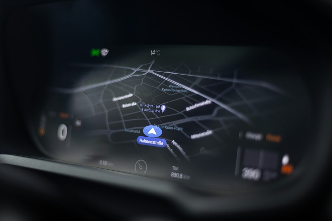
Slate Auto is about to ship a two-door electric pickup with no touchscreen, no built-in navigation and no speakers, and its answer to “how do I find my way?” is a spiral-bound road atlas and a phone mount. It sounds like a joke. It isn’t, and anyone who has watched a rental car’s infotainment system freeze on the A7 outside Nuremberg knows exactly why.
I’ve driven aurora loops in Finnish Lapland, Christmas-market circuits across Alsace and Bavaria, and more Canary Island rental hatchbacks than I’d like to admit. The navigation stack that never failed me is the one Slate is now selling as a feature: your own phone, offline maps, and paper as the last line of defence. Here is what Slate announced, why it matters for winter travel, and the exact gear worth buying in the Black Friday sales.
Key Takeaways
- Slate Auto’s electric pickup ships with no infotainment screen, radio or speakers; you dock your own phone, and the accessory catalogue now includes a spiral-bound road atlas.
- Pricing sits in the mid-$20,000s (around $27,500 before options as of November 2026), with 150 miles of range standard and roughly 240 miles with the larger pack.
- For travelers the lesson is universal: a phone with downloaded offline maps plus a $20 paper atlas beats most rental-car nav systems, especially on aurora and Christmas-market road trips.
- Black Friday 2026 pick: a Garmin DriveSmart 66 at around $199 only if you drive more than 20 days a year in dead zones; otherwise spend $60-70 on a quality phone mount and skip the dedicated GPS.
Key numbers at a glance
| Item | Figure (November 2026) | Why it matters on the road |
|---|---|---|
| Slate Truck base price | Mid-$20,000s (est. ~$27,500 after the US federal EV credit expired in Sept 2025) | Cheapest new EV pickup in the US; no screen is part of how they hit the number |
| Standard battery / range | 52.7 kWh / ~150 miles (241 km) target | Fine for day trips, tight for a Lapland aurora loop without charging stops |
| Larger battery / range | 84.3 kWh / ~240 miles (386 km) target | The pack you want if this is a road-trip vehicle |
| Built-in screen, radio, speakers | None in the base spec | Your phone is the dashboard; bring a mount and a Bluetooth speaker |
| Spiral-bound road atlas accessory | Comparable Rand McNally atlases retail $17-25 | Works at -25°C with a dead phone, which Google Maps does not |
| Production start | Late 2026, Warsaw, Indiana plant | First deliveries land in the dead of winter driving season |
What Slate Auto actually announced
Slate’s pickup was always the anti-Rivian: crank windows, unpainted composite body panels you wrap instead of paint, a single trim, and a dashboard that is literally a shelf with a phone mount and USB ports. The company’s line from day one was “we are not building an infotainment system because you already own a better one.”
The November twist is that Slate’s accessory catalogue now leans into that philosophy with a spiral-bound road atlas, pitched as the natural companion to a truck with no screen. Together with the phone dock and an optional Bluetooth speaker, that’s the entire tech stack of the cabin. A tablet mount is on the options list if you want a bigger map.
Why travelers should care: Slate is selling a car the way I’d spec a rental. Every hire car you pick up this winter in Tenerife, Reykjavik or Prague has an infotainment system you’ve never used, in a language you may not read, with maps last updated whenever the fleet manager remembered. Slate removes the problem entirely, and you can copy that approach in any car you drive.
Why screenless navigation is a traveler problem, not a car-nerd problem
Rental fleets in Europe are still full of cars with no CarPlay or Android Auto. Budget-category hires in the Canaries and Cape Verde are hit and miss for phone integration, and even when CarPlay is there, the cable you brought is often the wrong one. If you’re planning a December sun escape, the rental-car reality in Lanzarote, Tenerife and Sal shapes your day more than the hotel pool does.
Then there’s the dead-zone issue. November through February is peak aurora season, and the places you drive to see it (Abisko, Lofoten, Iceland’s south coast, the Scottish Highlands) are exactly where 4G drops to nothing. A nav system that needs a live connection is useless at the one moment you can’t afford a wrong turn on an icy single-track road at 11 pm.
Cold is the third problem. Lithium batteries lose capacity fast below freezing, and phones routinely shut down at -15°C to -20°C while showing 30% charge. A paper atlas in the glovebox has no battery. That is the whole Slate argument, and it’s correct.
The three-layer navigation stack Slate is quietly recommending
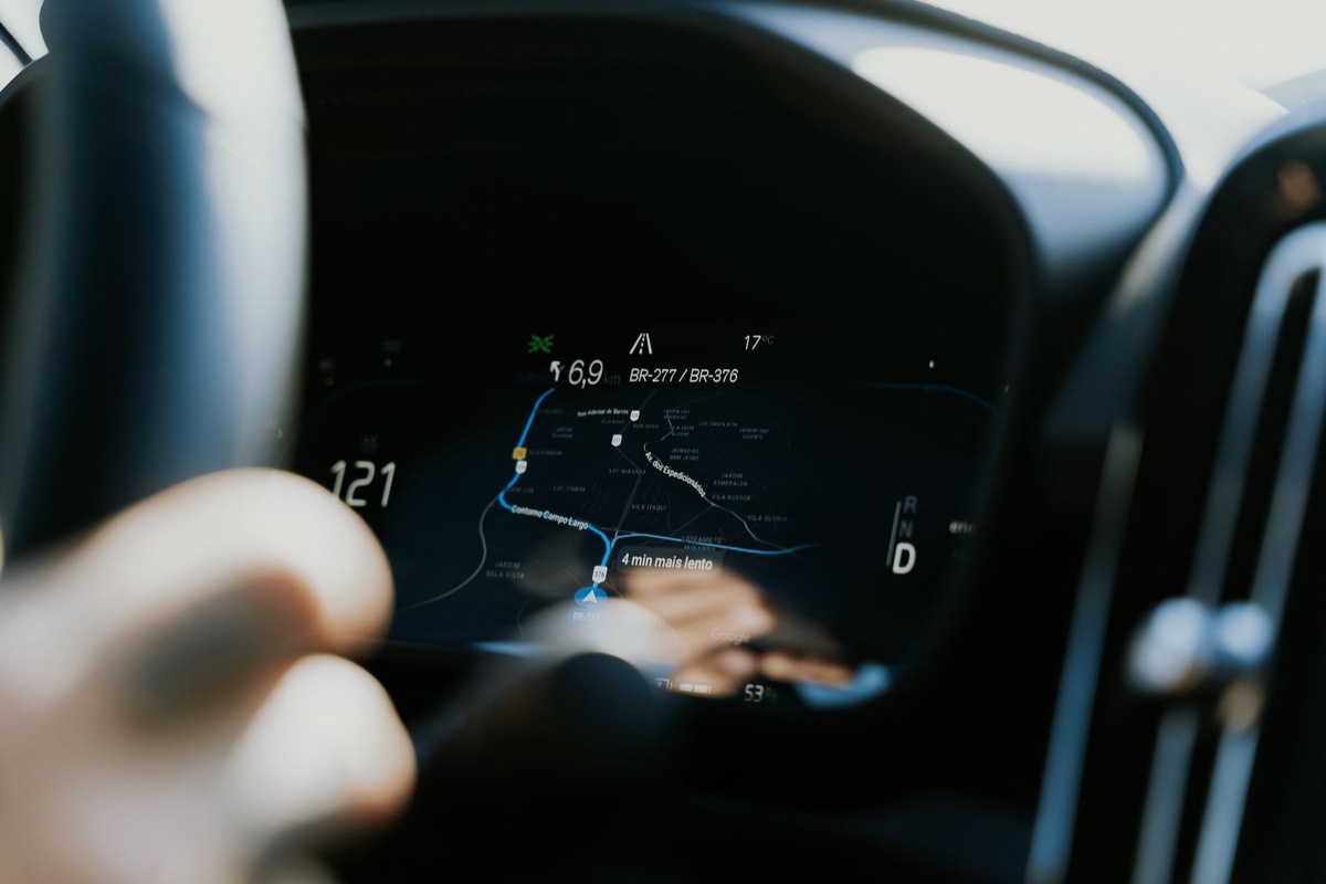
Strip away the marketing and Slate’s cabin is three layers: a phone, a way to hold it, and a paper backup. That’s the setup I run on every road trip, hire car or my own.
Layer 1: your phone with offline maps
Phone navigation beats any built-in system because it updates daily, knows about tonight’s road closure near the Nuremberg Christkindlesmarkt, and routes around traffic. The catch is that most people never download offline areas and discover this in a tunnel.
| App | Cost (Nov 2026) | Offline turn-by-turn | Typical download | Best for |
|---|---|---|---|---|
| Google Maps | Free | Yes (driving only) | Vienna + Lower Austria ~450 MB; max ~1.5 GB per area | Christmas-market city hopping, live traffic when online |
| Apple Maps | Free (iOS 17+) | Yes (driving, walking, cycling) | Strasbourg region ~300 MB | iPhone users who want CarPlay-native maps |
| Organic Maps | Free, open source | Yes | Iceland ~110 MB; Norway ~700 MB | Aurora chasing, trailheads, tiny storage footprint |
| OsmAnd | Free (7 map limit); OsmAnd+ ~€29.99/yr | Yes | Finland ~550 MB | Power users, contour lines, dark-sky pins |
Buy/skip: use Google Maps or Apple Maps as your primary and Organic Maps as the backup. Organic Maps is free, its downloads are a fraction of Google’s, and it has saved me twice in northern Norway when Google’s offline area didn’t quite reach the fjord road I needed.
Layer 2: the mount (the part everyone cheaps out on)
Slate ships a universal phone dock as standard. In a rental you won’t have one, and the €8 petrol-station vent clip will drop your phone into the footwell on the first roundabout. A proper mount is the single best €60-70 upgrade for any road trip.
- Peak Design Mobile Car Mount (vent): ~$69.95 / €74.95, 85 g, magnetic lock that holds through Icelandic washboard gravel. Needs a Peak Design case or the ~$19.95 universal adapter ring.
- Quad Lock Car Mount (windscreen/dash): ~$59.95 / €64.95, 110 g with suction base. The most secure lever-lock on a bumpy road; works with MagSafe via a separate adapter.
- Anker MagGo Car Mount: ~$49.99 / €49.99, 15 W Qi2 wireless charging, 150 g. Pick this if you’ll run navigation 6+ hours a day and hate cables across the dash.
- Skip: any sub-€15 clamp mount with a plastic suction cup. They fail in sub-zero cabins when the plastic stiffens, which is precisely when you’re driving at night for aurora.
Pair the mount with a 12 V charger that does at least 30 W USB-C (Anker 335, ~$24.99, often $17 on Black Friday). Navigation at full brightness drains an iPhone 17 at roughly 8-10% per hour; on a 5-hour Vienna-to-Prague drive via the Český Krumlov markets, you’ll want charging.
Layer 3: paper, the layer with 100% uptime
Slate’s atlas is the headline, but you don’t need theirs. For a US road trip, the Rand McNally Road Atlas (large scale around $24.95, standard around $17.95) is the one to have. For Europe, the Michelin Europe Tourist and Motoring Atlas is around €22 and covers everything from Strasbourg to the Slovenian border at usable scales.
For specific regions, buy a sheet map instead: a Freytag & Berndt Lapland map costs about €12.90, weighs around 90 g, and shows the small roads to dark-sky spots that even Organic Maps renders ambiguously. Fold it to the section you need before you set off; nobody wants to wrestle 1 m² of paper in a cab at -20°C.
Dedicated GPS vs phone vs atlas: the honest Black Friday comparison
Slate’s approach deliberately excludes a fourth option, the dedicated Garmin unit. Garmin still sells plenty, and Black Friday discounts from the week of 23 November are deep. Here’s how the options stack up for a traveler, with prices I’m seeing in November 2026.
| Option | Upfront cost | Weight | Battery/power | Zero signal? | Cold tolerance |
|---|---|---|---|---|---|
| Phone + offline maps | $0 plus $60-70 for a good mount | 170-230 g | 8-10%/hr on nav; needs 12 V charger | Yes, if areas are downloaded | Poor below -15°C unless on charger |
| Garmin Drive 53 | ~$129 Black Friday (list $149.99) | 170 g | ~1 hr unplugged; 12 V cable included | Yes, full map preloaded | Rated to -20°C |
| Garmin DriveSmart 66 | ~$199 Black Friday (list $249.99 / €269.99) | 221 g | ~1 hr unplugged | Yes; live traffic via Garmin Drive app | Rated to -20°C |
| Garmin inReach Mini 2 (satellite messenger) | ~$349 Black Friday (list $399.99) + from $14.99/month | 100 g | Up to 14 days tracking | Yes, anywhere with sky view | Rated to -20°C |
| Paper atlas / sheet map | $17-25 / €12-22 | 90 g (sheet) to ~700 g (atlas) | Infinite | Yes | Unlimited |
- Choose phone + mount + atlas if: you rent a few times a year, drive mostly between cities (Christmas-market loops, Canary coast roads) and keep the phone charging. Total spend: under $100.
- Choose the DriveSmart 66 if: you’ll be in a hire car without CarPlay for two-plus weeks, want your phone free for photos and calls, or drive long distances in extreme cold. The 76 and 86 are bigger screens, not better maps; skip the upcharge.
- Choose the Drive 53 if: you want the same maps for $70 less and can live with a 5-inch screen and no voice assistant.
- Add an inReach Mini 2 if: your aurora plan involves roads that close in storms or solo driving out of cell coverage overnight. It won’t navigate the car; buy it for the SOS button and off-grid texting.
- Skip: sub-$100 dash-cam-plus-GPS combos (stale maps, poor night video) and paid “offline map” apps selling the same OpenStreetMap data Organic Maps gives you free.
How to build a screenless navigation setup in 20 minutes (works in any car)
- Download offline maps on hotel Wi-Fi the night before. In Google Maps, tap your profile, Offline maps, Select your own map, and drag the rectangle over the whole drive. A Vienna-Bratislava-Prague Christmas-market loop is two downloads of roughly 400-600 MB each. Airport Wi-Fi at Vienna or Keflavik can crawl under 5 Mbps at busy times.
- Install Organic Maps and download the country. Austria is about 330 MB and Czechia about 250 MB; search for “parking” near each market works fully offline.
- Pin every stop. Save the markets, your hotel, the charger or petrol station and the airport return point. Offline routing works far better between saved pins than typed addresses.
- Set a data plan that won’t die at a border. A regional eSIM like Airalo‘s Eurolink (10 GB, 30 days, around $37 as of November 2026) covers Austria, Czechia, Germany and France on one plan, so Google Maps keeps pulling live traffic when a signal exists. Nomad‘s Europe plan is comparable at roughly $35 for 10 GB; both save you hunting for a phone shop in Strasbourg on a Sunday.
- Mount the phone and keep it on the 12 V charger from the first kilometre. Vent mounts sit at eye level; dash suction mounts suit cars with slim vents like the Dacia Sandero, the default Canary Islands rental. A phone above 50% also stays warmer and is far less likely to cold-shutdown.
- Put the paper map in the door pocket, not the boot. Pre-fold it to today’s section and mark the three turns that matter with a pen. This is the Slate atlas philosophy in a rental Fiat Panda.
Common mistakes I see every winter
- Trusting the rental’s built-in nav. I’ve picked up cars in Prague with maps missing the D1 bypass and in Tenerife without the TF-1 extension. Fleet maps lag years behind.
- Assuming “offline” includes walking. Google Maps offline routes driving only. For walking a Christmas-market city, Apple Maps or Organic Maps handle offline pedestrian routing; Google doesn’t.
- Forgetting offline areas expire. Google auto-updates areas on Wi-Fi, but if auto-update is off they lapse after roughly a year. Check the date before you fly.
- Leaving the phone on the dash in Abisko. The cabin can hit -10°C before the heater catches up; 40 minutes outside shooting the sky can kill a phone at 30%.
- Driving to mountain resorts on summer tyres because the map said “road open.” No app checks your tyres. If you’re driving to Zakopane or Bansko in early December, pack chains and check the resort road cams, not just the route.
Traveler verdict: Slate is right, and you don’t need the truck to prove it
I’m not telling you to buy a Slate Truck, though at mid-$20,000s for a new EV it’s a genuinely interesting road-trip base for US drivers once production starts late this year. The 150-mile standard pack is too short for serious winter touring; the 240-mile pack is where it makes sense.
What Slate gets right is the navigation philosophy. The best in-car screen is the phone you already carry, the best mount is one that won’t let go, and the best backup weighs 90 g and never needs charging. I’ve run that stack on the Icelandic Ring Road in a January storm and on a six-market Bavaria-Alsace loop, and it has never once left me without a route.
Buy the mount, download the maps tonight, throw an atlas in your carry-on, and spend what you save on a better hotel. If you want a dedicated GPS, buy it because you drive in dead zones every month, not because it’s on sale.
Frequently Asked Questions
Does the Slate Truck have a screen or navigation system?
No. The base Slate Truck has no infotainment screen, radio or speakers; the dashboard has a universal phone mount and USB ports so your phone acts as the display, and the accessory catalogue includes a spiral-bound road atlas as a no-battery backup. A tablet mount and Bluetooth speaker are optional extras.
How much does the Slate Truck cost and what is its range?
As of November 2026 Slate lists pricing in the mid-$20,000s, roughly $27,500 before options, after the US federal EV tax credit ended in September 2025. The standard 52.7 kWh pack targets about 150 miles (241 km) and the larger 84.3 kWh pack about 240 miles (386 km), with production starting in late 2026 in Warsaw, Indiana.
Do offline Google Maps work for driving in Europe without data?
Yes, for driving directions within downloaded areas, with a limit of roughly 1.5 GB per area, enough for most of Austria and Czechia in one download. Offline mode excludes live traffic, transit and walking routes, so pair it with Organic Maps or Apple Maps for pedestrian navigation around Christmas markets.
Is a dedicated Garmin GPS still worth buying in 2026?
Only if you spend two-plus weeks a year in hire cars without CarPlay or in areas with no signal. The Garmin DriveSmart 66 is about $199 on Black Friday 2026, weighs 221 g and runs around an hour unplugged; for occasional road trips, a $60-70 phone mount plus free offline maps does the same job.
What’s the best navigation setup for aurora road trips in Lapland or Iceland?
Use your phone with Organic Maps (Iceland about 110 MB, Finland about 550 MB) kept on a 12 V charger so it stays warm, a sheet map such as the €12.90 Freytag & Berndt Lapland map in the door pocket, and a Garmin inReach Mini 2 (~$349) for SOS and off-grid texts. Phones can shut down below -15°C, so the paper backup isn’t optional.

About the Author: Tomáš Bzirský
Founder and editor of Distratech. Based in the Czech Republic, travelling regularly from Central Europe. Writes practical travel guides and travel-tech comparisons (eSIM, apps, airports) in six languages.